Tuesday, July 31, 2001
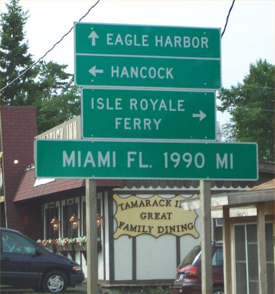
Hello from Eagle Harbor, Michigan
Start time: 0750
Start odometer: 4524
Weather:
Another very enjoyable and educational day. I found this motel by
chance as I decided to tour the west shore of the Keweenaw Peninsula along
Michigan Highway 26. The price and time of day made the decision to stay
an easy one. I also believe this will be my last stop in Michigan. I
have been pleasantly surprised at what Michigan has to offer, especially in the
Upper Peninsula!
The day started with a beautiful sunrise and clear blue skies as I peered out of the motel
window. After
checking out of the room and having some orange juice, I headed west on Michigan
Route 28. My first stop was at a park in Negaunee, where several plaques
were erected describing how in 1844, Lake Superior iron ore deposits were first
discovered here.
Continuing along M28, I saw "Da Yupper Tourist Trap" which was
mentioned by the ladies I spoke with on Mackinac Island. I stopped
to view the displays, and the pictures tell much of the story! There was a
rock museum on site, which provided information on much of the locally mined
rock and minerals.
Another place mentioned by the ladies on Mackinac was the Hilltop Restaurant
in L'Anse. I decided to have breakfast there, and had a delicious
meal. Their claim to fame is a sweet roll that is not only tasty, but
huge! They are really big, so I opted for a regular meal. But those
rolls were tempting!
Business name of interest: "Happy Tails", the name of a dog groomer.
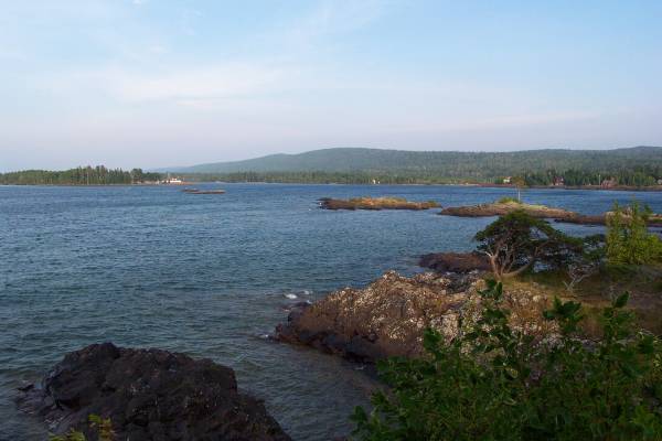
The drive along the lake shore was magnificent! There are many scenic
overlooks, and many opportunities to stop and enjoy the view. I found a
road named Des Rochers road, no doubt named after my friend Norman in
Maine! Also, as in Maine, there are many logging trucks on the road,
including a truck and trailer that had a total of 42 wheels.
On the west side of L'Anse, I found a shrine to Bishop Frederic Baraga, who
did missionary work in the Upper Peninsula. He had even visited the area
of Eagle Harbor, and held services in this town. The statue erected for
him is 35 feet tall and weighs four tons.
My main visit today was at the Quincy Mines just north of Hancock. It
was a copper mine started in the 1840s, and was very successful in its ability
to provide a dividend for shareholders for many years, beyond all others in the
region. The full tour takes you into one of the shafts that is over 300
feet deep, and 2000 feet into the mountainside! The tour starts by taking
you on a cog type railway down a 32 and 35 degree angle hillside, to the
entrance into the mine. By the way, before you leave the main building for
the ride down he hill, you are given a hard hat and a coat. Yes, it was in
the 80s, but the shaft is a constant 47 degrees! When you get out of the
train cart, you look towards the opening in the mountain and find it a bit hard
to see through the fog! There are three openings to this particular mine,
and in the summer, the cold moist air blows out of the tunnel, and fog is
created. It was really cool, in looks and temperature!
Transportation into the tunnel (and 2000 foot penetration) is provided by a
tractor pulling a cart where we sat. After a couple of stops, we stepped
off the cart and walk further into the shaft for a demonstration of the tools,
as well as a discussion on different facets of the miner and their
work.
I enjoyed this tour very much, as the guide provided a lot of
information. I learned many things about mining and the mining
industry. I spoke with our tour guide, Dennis, and learned he was in the
process of obtaining his Masters from Michigan, and that this mine and mining was
the subject of his thesis. He also found much interest in the history of
mining, which allowed for his tour to be more entertaining and informative.
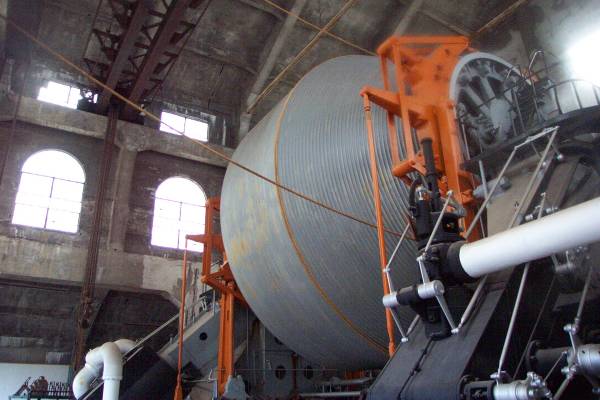
This was followed by a surface tour of the steam driven shaft cable
turner. It is the largest in the world, and is amazing to see. I
learned much about mining today!
I drove along the east shoreline into Gay, Michigan. And yes, there is
a Gay Bar in the town! There are also the remnants of a stamping plant,
with a very tall smokestack.
Continuing along the shoreline, I stopped at the tip of the peninsula, Copper
Harbor, and the the beginning or terminus of US Route 41. This was
followed by a turn to the west, along Lake Superior, with the stop in Eagle
Harbor.
Click on picture for larger image,
hit back button to return to this page.
|

The park in Negaunee, Michigan, where this historical marker describes how
Lake Superior ore was first discovered in this area. |
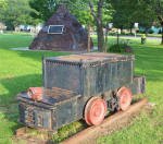
An old ore car. |

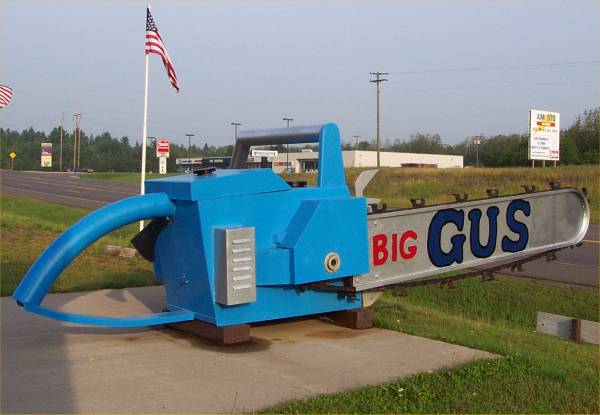
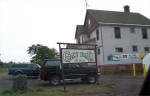
My stop at Da Yoopers! |
|

A very large chainsaw. |

The description of the chainsaw. |

As they indicate, this place is built on bizarre items. |
|

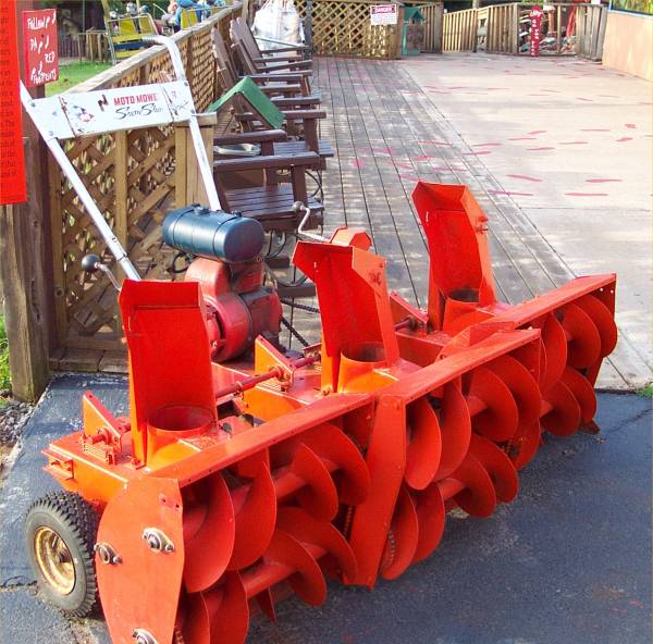
See the next panel for the description of this snow blower! |
 |
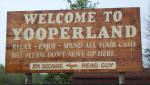
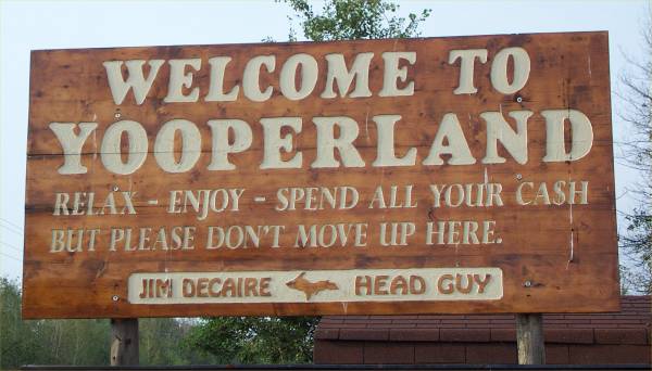
Great sign! |
|

This is the restaurant suggested by the ladies I met on Mackinaw Island.
Incredible looking sweet rolls! |
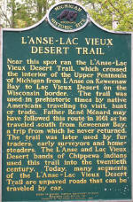
A historical marker along the road. |

The shrine to Bishop Frederic Baraga. |
|

A closer look at the statue. |

A look at the site. |

An old building at Quincy
Mines in Hancock Michigan, on the Keweenaw Peninsula |
|

Taking a ride into the fog! |

The cool air was very refreshing. |

Our tour guide Dennis, demonstrating some equipment. |
|

The cog railway back to the visitor center. |

This was used to wind the cable that lowered and raised the miners. |

The Quincy Mine shaft house. |
|

The hoist is located in this building. |

This locomotive and the rail cart in the next frame were some of the items
on display. |
 |
|
The bar in Gay, Michigan. |

The following few pictures were taken I walked amongst the remnants of this
stamping building. |

The tall smokestack was the only building intact. |
|
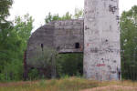
This is the base of the smokestack. |

Another view of the base. |

This is all that remains of the razed buildings.
|
|

At the tip of the Keweenaw Peninsula, this sign indicates the northern
terminus of US 41. |

This sign was located in Copper Harbor, near the end of the peninsula. |

Some information about Eagle Harbor. |
|

I walked to the Eagle Harbor lighthouse, where this sign was posted. |
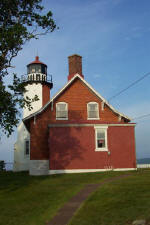
A view of the lighthouse. |

Another sign at the lighthouse. |
|

This was a continuation of the previous frame sign. |

The view from beside the lighthouse, looking northeast. |

Another view of the lighthouse. |
|

The beacon. |

More information about the lighthouse and museum nearby. |

Eagle Harbor House, described in the sign in the next frame. |
|
 |

Eagle Harbor School. |

Holy Redeemer Church. Please read the sign in the next panel for a
description on the church. |
|
 |

A nearby schoolhouse had this plaque. |
|
Thanks very much for visiting the site, and please send your
comments.
Routes traveled today: M28 - 41 - M26 - 41 - M26
Hotel: Eagle Harbor Inn -

This page
accessed  times.
Page
created by: igorn@igorn.com
Copyright
© 2001 Igor N. Nikishin
All
Rights Reserved
Pictures
may be used with permission.