Tuesday, August 21, 2001
Hello from Coal River, B. C.!
Start time: 0730
Start odometer: 9221
Named for a river flowing through the town, Coal River consists of a log
cabin with year round residents on the north side of the highway, and the Coal
River Lodge and RV park on the south side, where I am spending the night.
I will have a look around in the morning to see if there are more buildings up
the road. There are several unincorporated towns such as this one along
the highway, most providing gas, diesel, and camping. Less common,
but still quite a few, are lodges and motels. However, in most of these
types of towns, there is only one place of lodging, and if there are two, there
are a couple of miles between them. Though I could have driven further to
a city, I wanted to try one of these places, and will do so again! There
is no phone, no television, no cel phone access, there are no radio stations in
the area, and power is provided by a generator. You can tell when Donna,
the owner, turns on an appliance in the kitchen! Donna mentioned that they
have one phone line linked to a town 35 miles south, and if she wanted a second
line, it would cost over $20,000! This is a nice, quiet place. I had
supper, which was the special, roast beef, potatoes, and creamed corn, a short
while after my arrival. About the radio reception, I did bring a shortwave
radio with me, so I spent a little time listening to Radio Taiwan, amongst other
stations. Since there is no phone,
I will not be able to upload my page tonight. Hopefully tomorrow I will
have access to a phone.
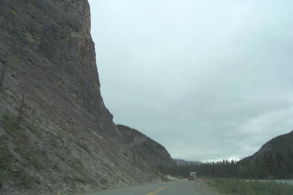
Today provided many different experiences for me. First, it was cloudy,
with rain beginning as I traveled northwest. The terrain changed from
yesterday as I approached the Rocky Mountains. Also, the road narrowed,
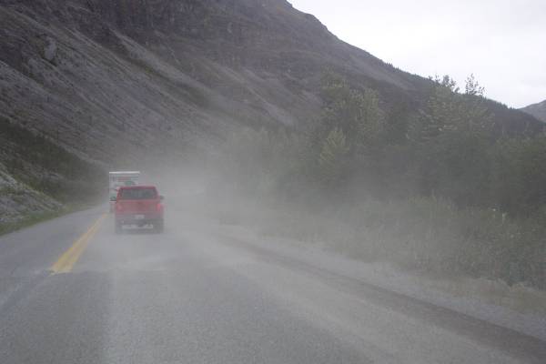
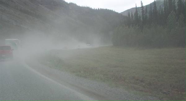
and the condition of the surface worsened. During this section on the
highway, there were many gravel patches which were smooth to drive on, but
kicked up a lot of dust. Also, at several points along the road, I had to
stop and wait for a pilot car to get through a construction area. All this
was fine, as it created the atmosphere I expected of the Alaska Highway
experience. Additionally, along the sides of the road, there were several
areas encountering mudslides and rockslides, some very severe. The road
crews along the road do a terrific job of keeping debris off the road.
I was driving through rain, seeing the clouds clinging to the mountaintops,
and experiencing the mountainous section of the road. While improvements
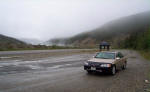
have been made, there are still many steep grades. The culmination of the
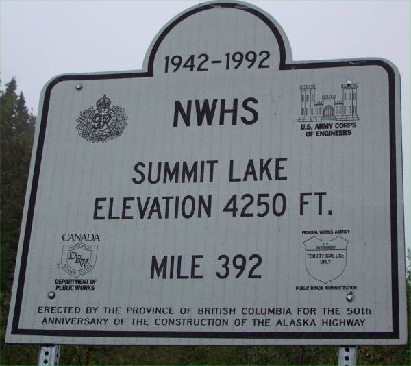
upward travel leads you to Summit Pass, the highest point of the highway,
elevation 4250 feet. Not very high by U. S. Rocky Mountain standards, but
in this area, a different kind of beauty to see. Also, the weather became
a factor. At the pass, it was 36 degrees, there was snow was mixing with
the rain, and it was very windy! I was still in a t-shirt and pair of
shorts for my first trip away from the car. Afterwards, I put a jacket on
for more warmth. Even with the adverse weather conditions, it was a
beautiful, peaceful place.
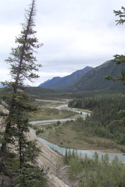
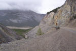
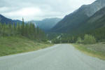
After spending some time in the Summit Pass area, I returned to the road and saw
spectacular scenery while driving down the mountain. The construction of
the highway along the mountainside must have been hard work, since much rock had
to be blasted to provide a bench for the roadway. The views in the
MacDonald Creek valley were wonderful!
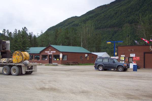
I stopped around noon for dinner (lunch) at the Toad River Lodge, and fueled
up the car. I fueled up with a Buffalo burger, fries, and a hot
chocolate. This was my first bite of buffalo, and while I found it
interesting and unique, I may stick to hamburgers in the future! It did
not taste bad, just different. The Cafe at the lodge has an interesting
habit, and that is to allow you to tack your baseball cap on the ceiling.
There were hats from everywhere and about everything, including one from
Philippi, West Virginia! ( I had a friend from there.) They posted
the total amounts of hats as 5301! I did not have one with me, but maybe
next time.
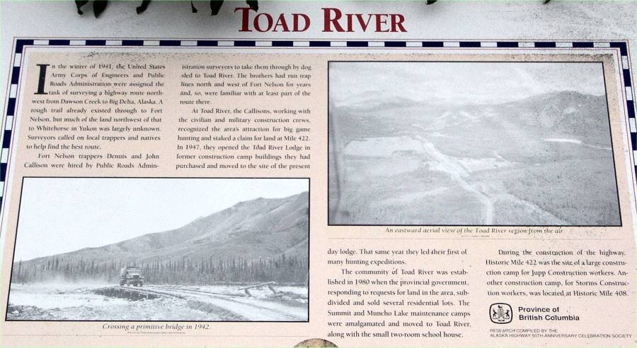
The menu at the cafe had a sheet of facts and lore about the area, including
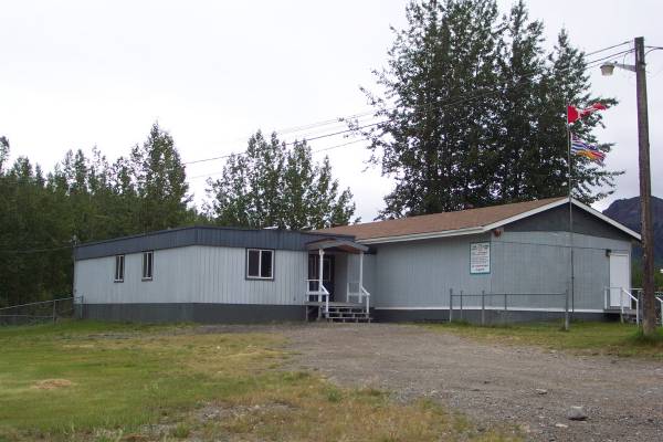
the hats. There was also a paragraph about the school in Toad River, which
has on average 25 students from Kindergarten to grade 12, and two
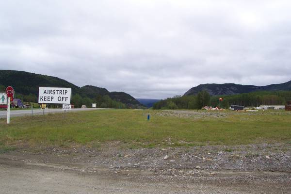
teachers. The students travel to school by many means, including ATVs,
snowmobiles, horses, and planes. The furthest student is 50 miles away,
and as stated on the paper, if it is so cold that the transportation equipment
does not start, they take the day off. It can get very cold here, with
temps 30 - 40 below not unusual.
After lunch I returned to the road, and more gravel patches. It was
also after lunch that I had my first stop for construction. There were
about 12 cars, so I turned off the Camry and relaxed. About 15 minutes
later, I was woken by a motorcycle driving the opposite direction. The
pilot car had come our direction, and the southbound traffic passed by. As
I said, I did not mind these types of delays, since they are to be expected.
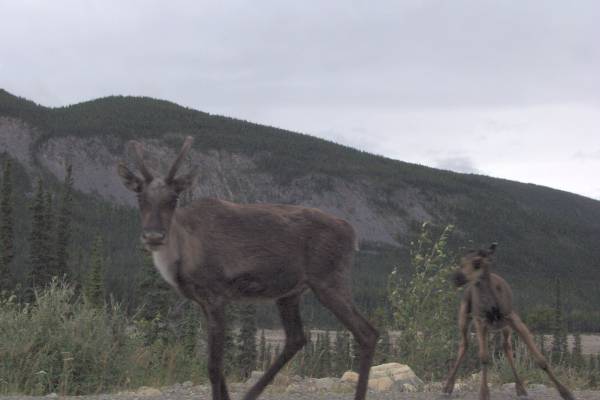
Today was a good day for animal sightings. I saw caribou, stone sheep
(from this area,) and quite a few bison. Still looking for that
grizzly, but from FAR away!
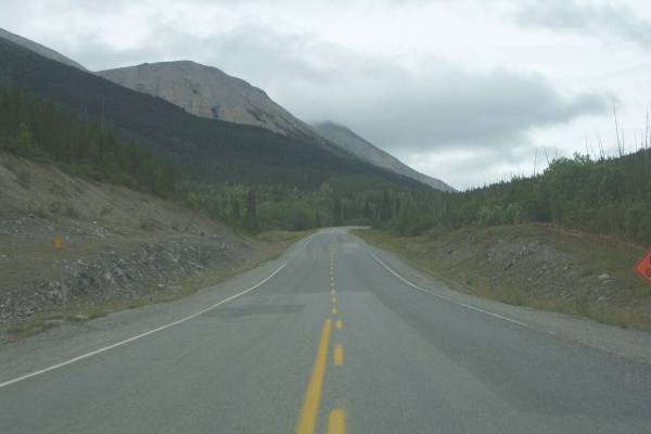
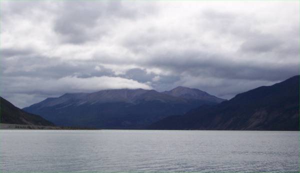
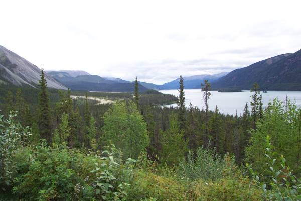
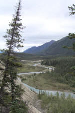
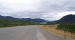
The highway continued around the beautiful Muncho Lake. It is a deep
green and blue 7 mile long, 1 mile wide lake at an elevation of 2680 feet,
surrounded my 7000 foot mountains. The water color is effected by copper
oxide leaching into it. Across the lake is the Terminus Range, and is the
northernmost part of the Rocky Mountains. I stopped several times at
overlooks to see the pretty views.
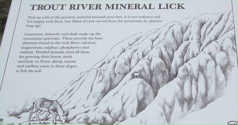
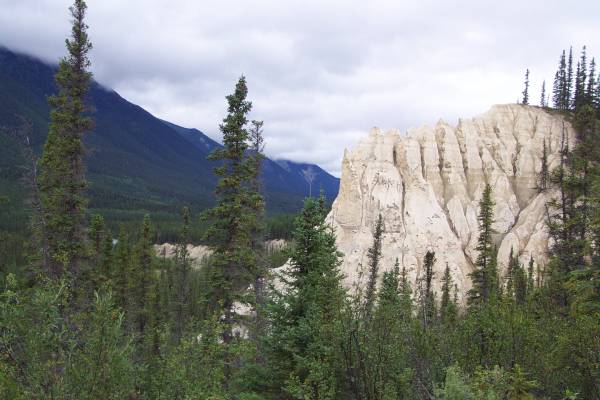
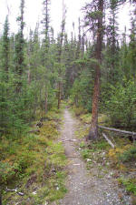
I stopped a few miles down the road to take the Mineral Lick Trail.
This trail leads to a view of the Trout River, with a description about the
"soil" content, which happens to be many necessary minerals, and is
why so many animals lick the ground.
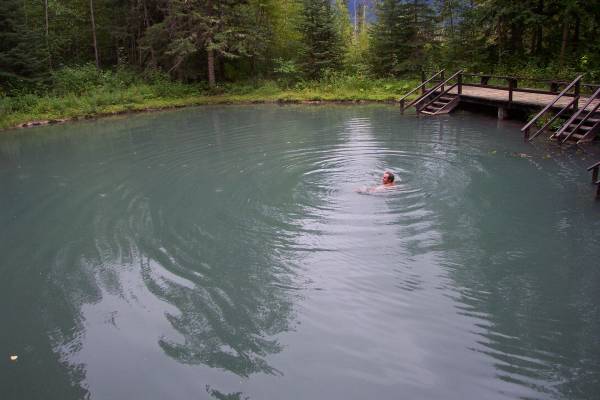
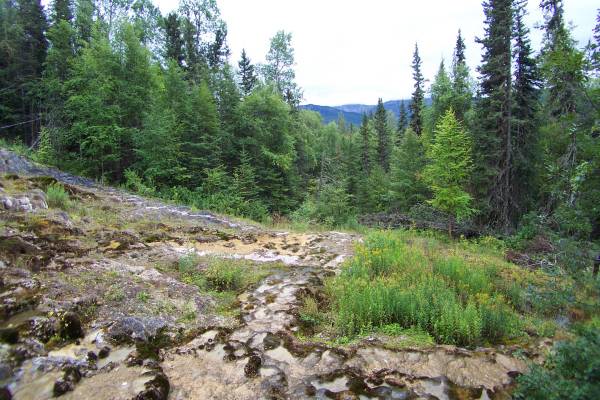
My next visit was to the Liard Hot Springs. The constructions crews
building the highway enjoyed this area, as there are two hot spring pools
ranging from 102 to 120 degrees. I can imagine what it must have been for
them in the cold of winter. The rain had stopped for a while, so I decided
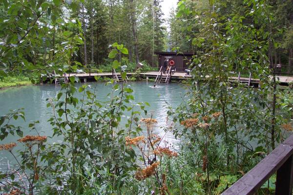
to take a walk. The park now has a wooden boardwalk to the pools, and
changing rooms for those wishing to go for a soak. I did not go in, but
felt the warm water with my hand. It felt great, and you only had to get
beyond the sulpher smell. There were several people enjoying themselves in
the water. However, while walking along the path, you could tell which
people went in, as they were shivering somewhat during the 5 minute walk
returning to the parking area. There area was quite interesting to see, as
the warm waters provided for a distinctive flora and fauna collection.
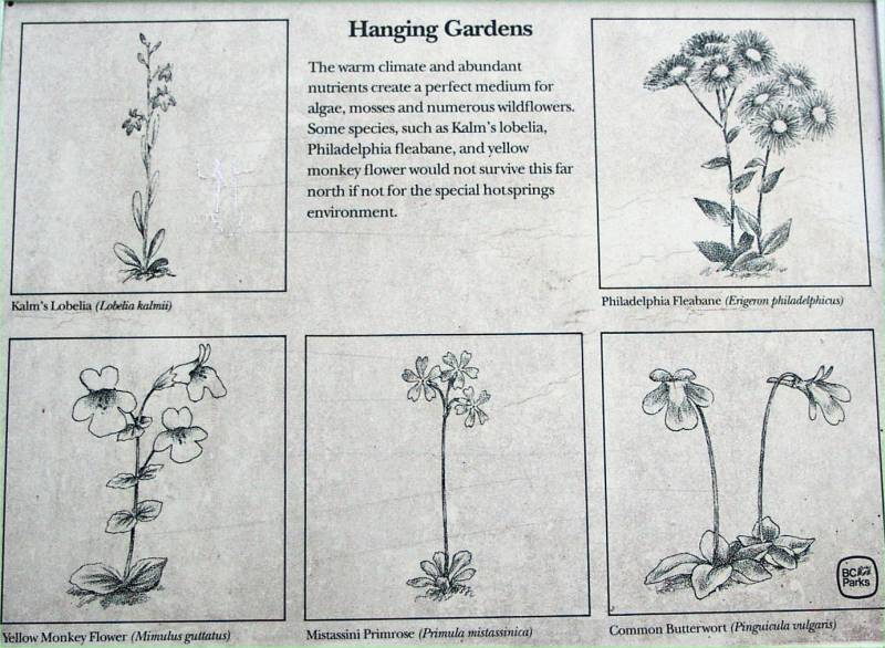
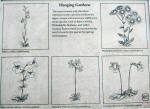
They had an area called the "Hanging Garden", where moss, among other
plant life, were clinging to the side of a mountain where these hot springs
flowed. It was a very interesting area.
As I continued my journey, the rain began again, and it got very windy.
It was a bit difficult to drive, but the dust from vehicles in front of me blew
off the side of the road instead of in my path. This is also the time when
I had to avoid 20 bison along and on the road.
Click on picture for larger image,
hit back button to return to this page.
|
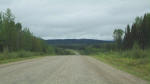
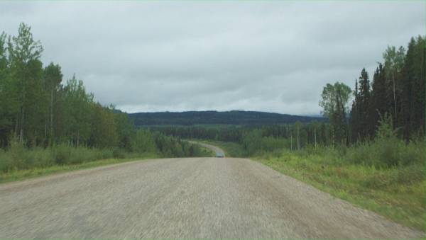
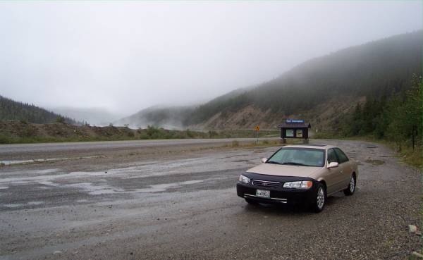
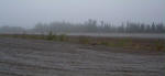
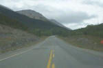
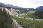
A view of the highway outside of
Fort Nelson. Finding more remoteness now. |
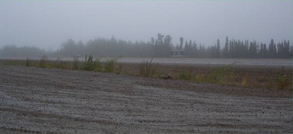
The fog and snow atop Summit
Pass. |
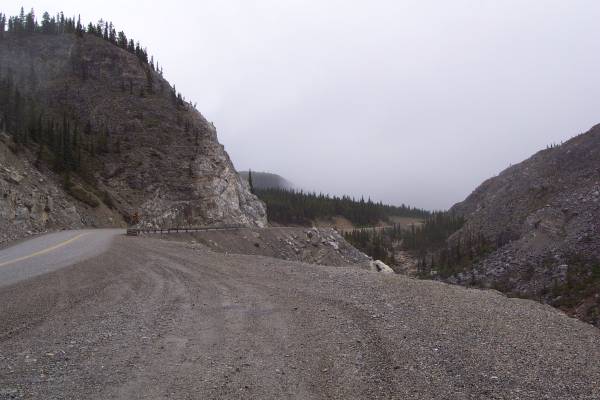
This is a portion of the original
road. The end is blocked with a large pile of dirt. |
|
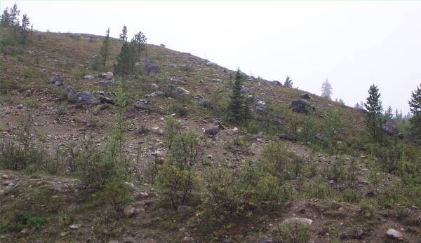
There is a difficult to see
caribou in the center of the picture. |
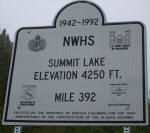
Summit Lake marker. |
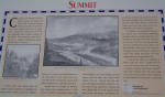
Some information about building
the road in this area. |
|
Summit Lake |
I enjoyed this part of the Alaska
Highway as it provided wonderful scenery, as well as an example of the work
it took to create this road. |
This picture was taken in the
opposite direction from the previous picture. |
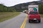
|
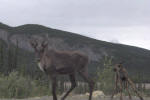
A couple of locals along the
road. |
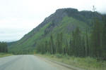
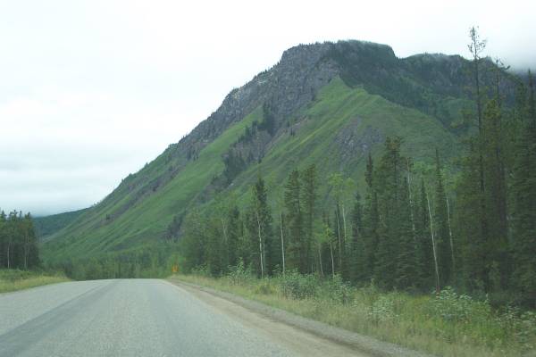
More amazing scenery! |
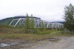
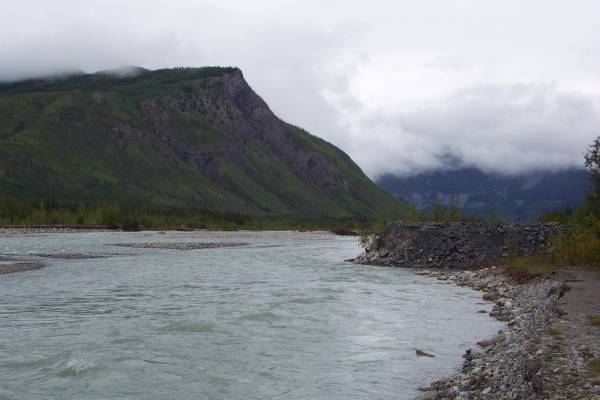
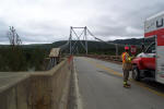
The bridge over Racing River.
|
|
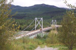
At the base of the bridge over Racing River, looking north. Good
fishing for grayling and Dolly Varden. |
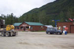
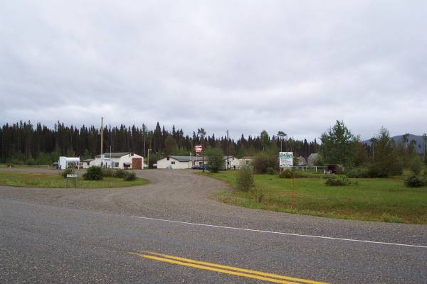
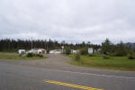
Toad River Lodge and
Restaurant, located at Historical Milepost 422. |
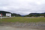
The Toad River airstrip. |
|
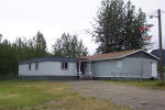
This is the school for Toad River. |
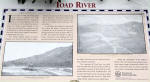
A panel describing some of the history of Toad River. |
Construction! No surprise, so I took a little rest. |
|
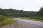
View along the side of the highway. |

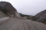
Heading into a gravel construction patch. |
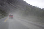
The scenery was pretty beyond the dust. |
|
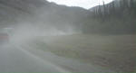
Another view of the dust kicked up by vehicles traveling through
construction. |
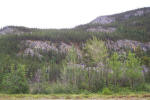
Another view from the road. |
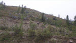
Interesting rock wash. |
|

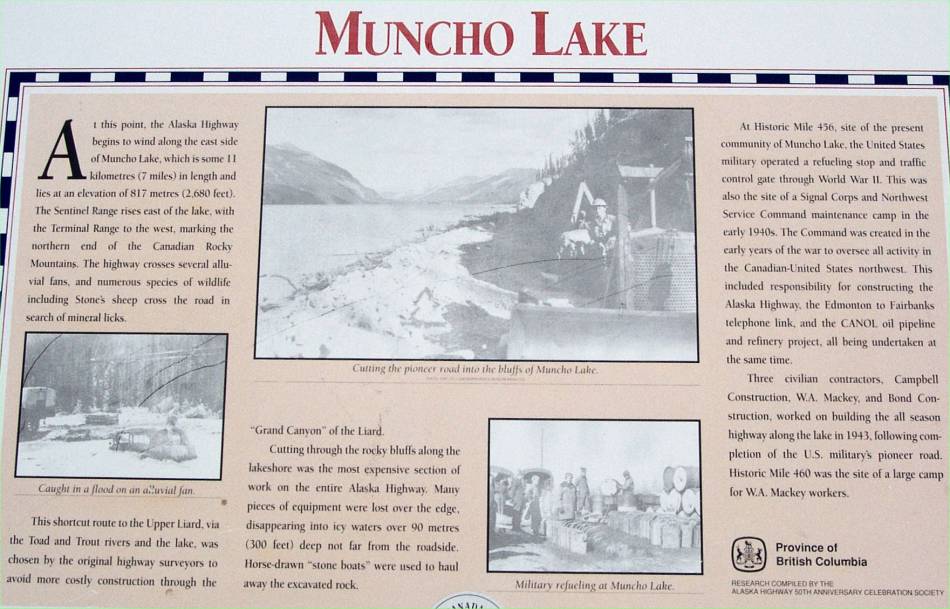
Panel describing Muncho Lake. |
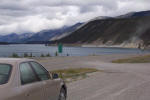
Muncho
Lake, which is a spectacular sight to see. The dust from highway
traffic can be seen as the road winds along the lake. |
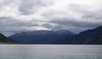
Another view of the lake. |
|
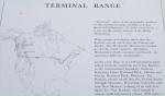
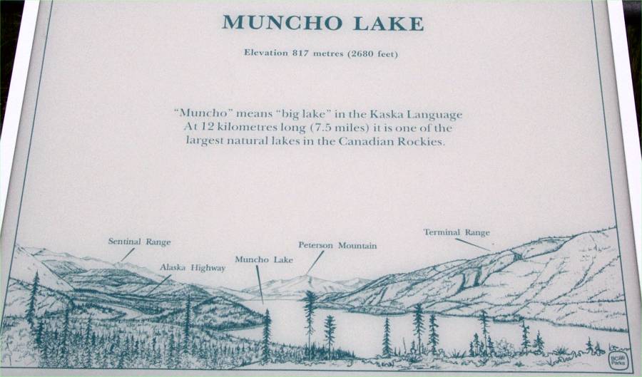
This panel describes the Terminal Range, this area of the northern-most
section of the Rocky Mountains. |
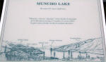
This panel about Munch Lake is first seen by southward travelers. |

One more look at Muncho Lake. |
|
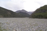
On the Mineral Lick Trail, this was an interesting view of Trout River. |
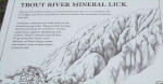
The explanation of the mineral lick. |

A look at the mineral lick bluff. |
|
Another view of the Trout River. |
Returning to the parking area along the Mineral Lick Trail. |
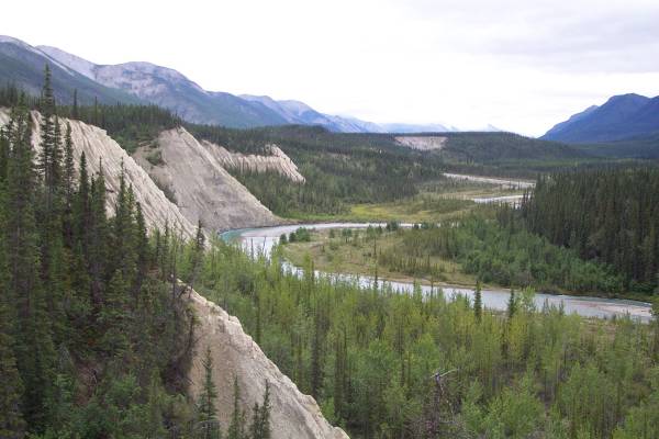
I enjoyed the many mountain views along the highway. |
|
Wonderful scenery was constantly seen. |
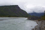
Stopping for bridge construction. This river crossed is the Liard
River. |
A look at the Liard River bridge just crossed from an elevated area next to
the road. |
|

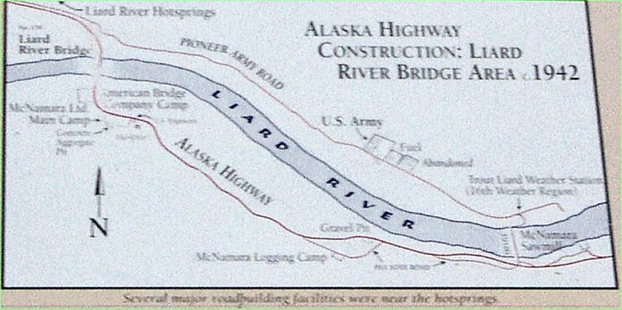
Information about the Liard River area. |
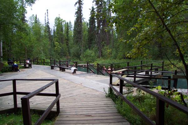
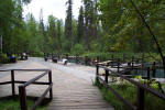
Walking to the
Liard Hot Springs along the provided boardwalk. |
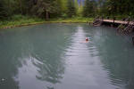
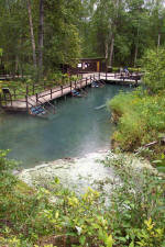
One of the two hot spring
pool areas, this was called the Alpha Pool. |
|

Another view of the alpha pool. |
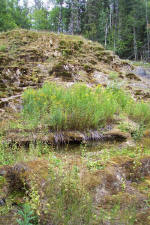
A picture of the hanging gardens at Liard Hot Springs. |
The hanging gardens are located along a bank off the main trail between the
alpha and beta pools. Because of the hot springs, plant life on the
bank is very interesting. |
|

This panels describes the tufa on the hanging gardens. |
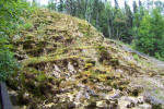
Another view of the hanging gardens. |

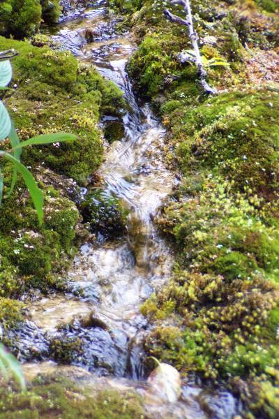
This is the runoff area from the garden. |
|
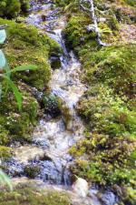
A close up of one of the trickles of hot spring water. |
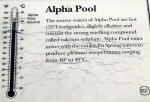
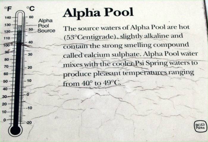
Some information about the
alpha pool. |
The Beta Pool at
Liard. |
|
One final shot of the
beta pool. |
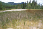
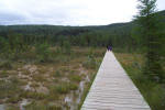
The marsh area along the boardwalk. |
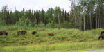
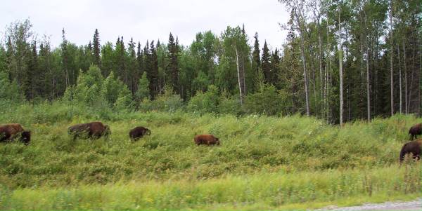
Bison along the road. |
Tomorrow I will be spending some time in Watson Lake, which means I will be
in the Yukon Territory! Thank you for viewing the page!
Routes traveled today: 97
Hotel: Coal River Lodge and RV (Mile 533,
Alaska Highway) -
This page
accessed  times.
Page
created by: igorn@igorn.com
Copyright
© 2001 Igor N. Nikishin
All
Rights Reserved
Pictures
may be used with permission.