And the traffic is low this time of year, making for a quiet drive!
Start time: 0830
Start odometer: 14593
Weather: Sunny morning, 18 F at start of day, up to 52 F.
Click on picture for larger image, hit back button to return to this page.
Highlights:
And the traffic is low this time of year, making for a quiet drive!Click on picture for larger image, hit back button to return to this page.
|
My campsite was about 40 yards off of the Nabesna Road. It was the most remote spot I had ever camped! |
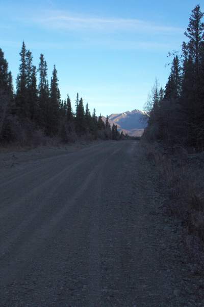
Standing in the road, This is the view to the southeast. |
From the same viewpoint as the previous picture, this is the view looking northwest. |
|
A bit of ice on the road. |
After fording another stream. |
The story of Noyes Mountain. |
|
This is Noyes Mountain, described in the previous picture. |
Another view from the same viewpoint. |
I saw this utility pole south of Tok. Notice it is missing the bottom portion! |
|
Another view of the pole. |
In Tok, I am back on the Alaska Highway! |
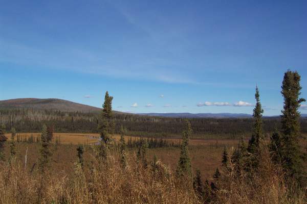
Pretty views of the Alaskan landscape. |
|
I stopped by the Tetlin National Wildlife Refuge Visitor Center, unfortunately closed for the season. |
Part of the facilities at the Tetlin National Refuge. |
My return to Canada, and the Yukon Territory. Back into the Pacific Time Zone, this is my fifteenth time zone crossing! |
|
This plaque was at the border. |
This panel, also at the border, describes what can happen to roads built on permafrost. |
Another look at the border marker, as well as other items on the Alaska side. |
|
One final indication that I am in Canada. |
The winding Alaska Highway. |
This panel describes the Icefield Ranges, the youngest mountain range in Canada. |
|
A view of the Icefield Range. |
|
|
Routes traveled today: AK 1 - AK 2
Hotel: Kluane Wilderness Village Motel -


This page
accessed
times.
Page created by: igorn@igorn.com
Copyright © 2001 Igor N. Nikishin
All Rights Reserved
Pictures may be used with permission.